


Introduction
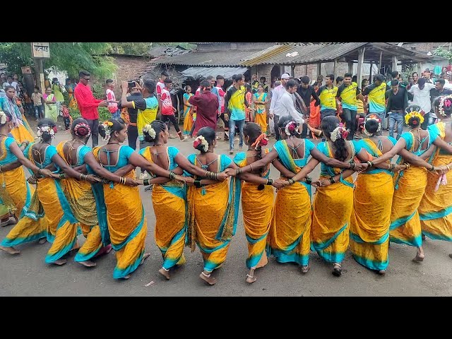
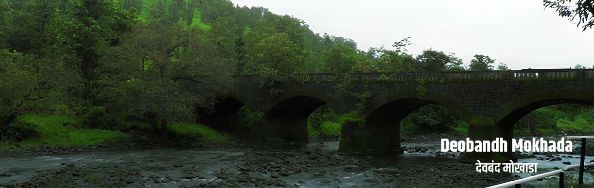
Mokhada taluka is located 90 km east of Palghar district. Most of the population of this taluka is tribal. Most of the area of this taluka is covered with forest and hilly valleys. The geographical area of the taluka is 47308.42 hectares. Out of which 7000 hectares are under paddy cultivation, 4900 hectares are under nagli, 4300 hectares are variegated, 2403 hectares are pulses and 843 hectares are milled. The average rainfall in the taluka is 2500 to 3000 mm. According to the 2011 census, the population of Mokhada taluka is 83,453. Out of which the rural population is 73,180 and the urban (municipal council-Mokhada) population is 10273. Out of which, 41691 are males and 41762 are females. The Scheduled Tribe rural population is 69164 and the urban Nagar Panchayat population is 7678 and the Scheduled Caste rural population is 1447, the urban Nagar Panchayat population is 175 and the other rural population is 2569 and the urban Nagar Panchayat population is 2420.